CollinsChildren'sPictorialAtlas
- 作者
- 出版社 HarperCollinsUK
- 出版时间 2012年7月
- ISBN 9780007479443
- 定价 105.10
内容简介
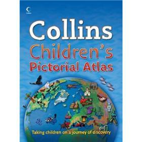
Thishighlyillustratedpictorialatlasisdesignedtotakechildrenonajourneyofdiscoveryaroundthecountriesoftheworld.Themappingisclearcolourfulandhighlyinformative.Simpleactivitiesandquizzesencouragechildrentofindoutmoreaboutthemappedregions.Eachspreadincludesintroductorytextabouttheregion.Pictorialsymbolsareusedonclear,colourfulbackgroundmappingtodepictthemessuchasnationalemblems,customs,food,birds,animals,buildings,sportsetc.tohelpyoungerreadersgainanunderstandingofpeoplesaroundtheworld.Continentalspreadsfocusonflagsandthemostimportantgeographicalfactse.g.wellknownhighest,lowest,largestphysicalanddemographicfeatures.AdditionalFeatures:?Avarietyofactivitybasedfeaturesaccompanythemappingoneachspreaddesignedtoencouragethereadertoextractinformationfromthemap.?Fascinatingfactsabouteachcountry-presentedinafunwayforeachspread?Websitelinksarelistedtoassistfurtherstudyfortheolderchild.
— END —